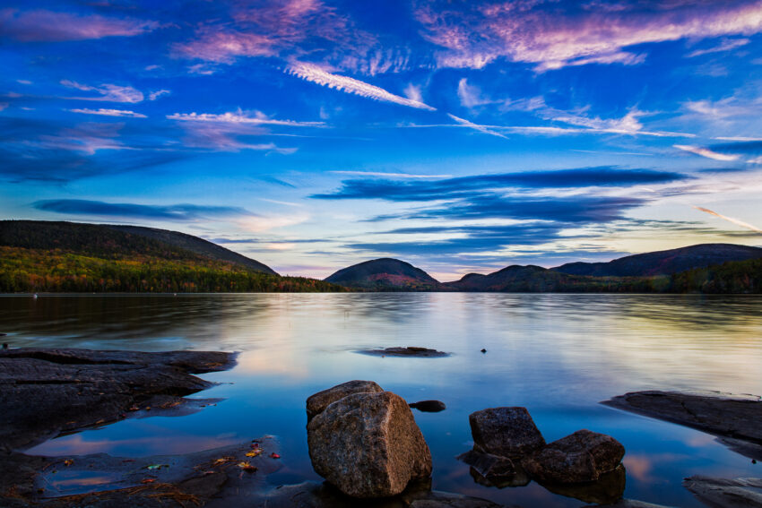
Giant glaciers, a copy of the progress of the ice sheets of three millennia ago, high granite cliffs and rocky coves, the mist in contrast to the sea, extensive lakes and valleys surrounded by mountains, and among all this stands Mount Desert Island, maintaining these characteristics from the north to the south, in all its extension.
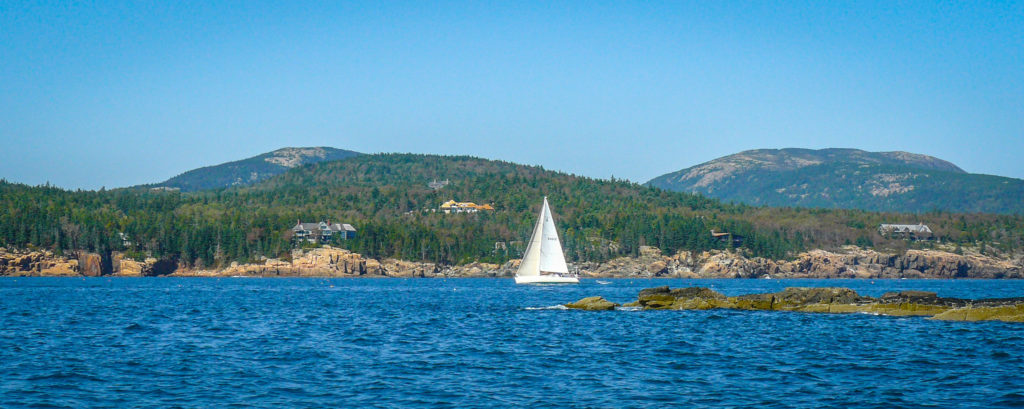
Located in the northeast of the United States, just in front of the coast of Maine, is the great Mount Desert Island, considered largely as Acadia National Park. The island has a vague horseshoe shape, with the two halves closing around Somes Sound, the only fjord in the United States mainland.
In the first half, the oriental, you will find many of the most famous attractions of the island, such as Bar Harbor, Sands Beach and Otter Point, however, on the west side you will find fascinating walks and an incredible coastline in a less populated side.
In the 17th century until 1760, Great Britain established the first permanent settlement on the island. After the war of independence of the United States, tourism became a big business for the place, and besides that, the island was a vacational refuge for many business leaders by the end of the 19th century, like the Vanderbill, Rockefeller, Ford and Pulitzer families. They had great and egotistic vacation homes here. Thanks to such influence and a large donation of land from John D. Rockefeller Jr. the establishment of the national park was achieved, later called Acadia.
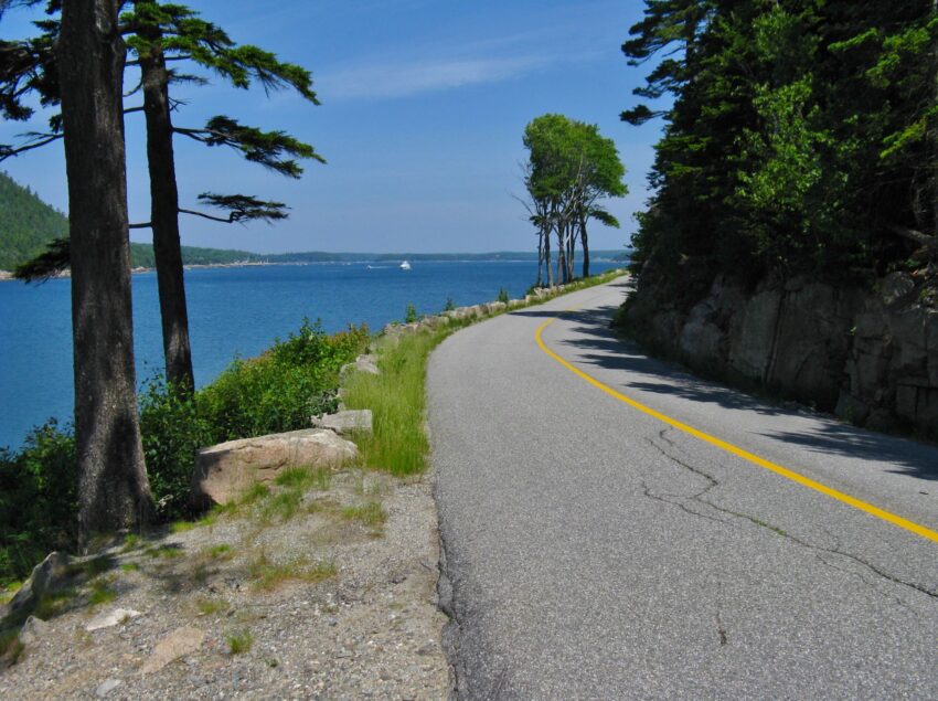
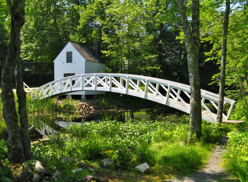
On the island, a network of carriage roads was built, which would later be closed for cars, but today they continue to function as open roads for walkers. Later, the Great Depression led to the fading of this golden age and in addition to this, a terrible fire in 1947 destroyed many properties.
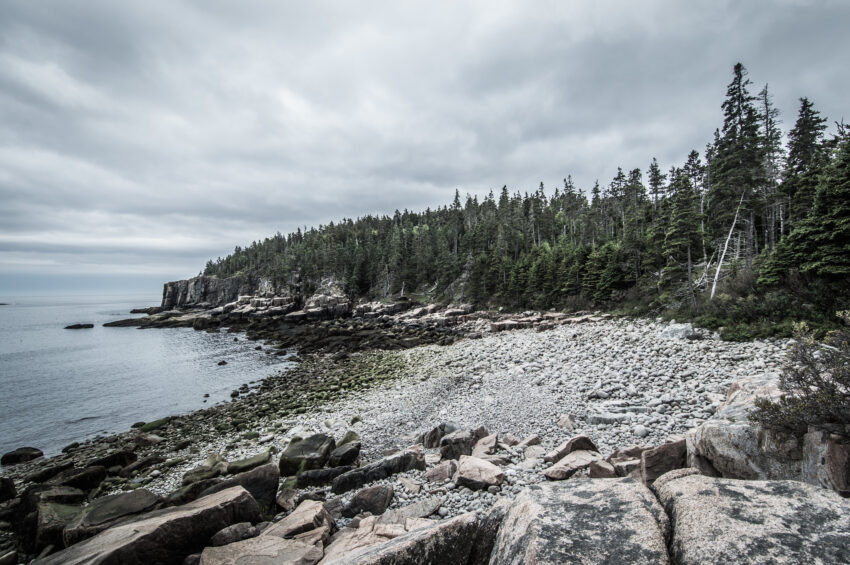
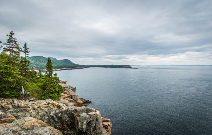
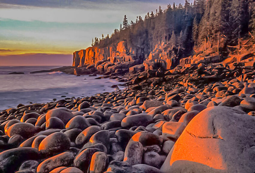
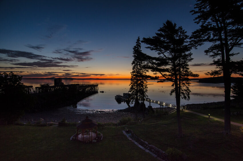
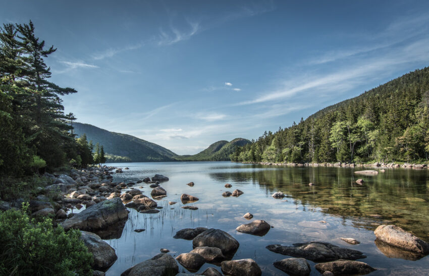
After all the harsh times, the island recovered and today its main attraction is its beautiful and impressive natural landscape. The stretch of 1.6 km between Sand Beach and Otter Point is considered the beating heart that keeps the coast of Maine alive. Stare out at the horizon as the sun rises, and watch how the granite cliffs shine with a pink tint, while a cloud of fog blankets the sea.
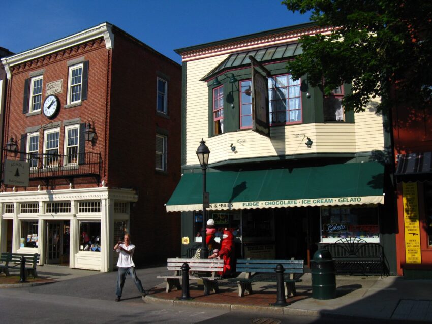
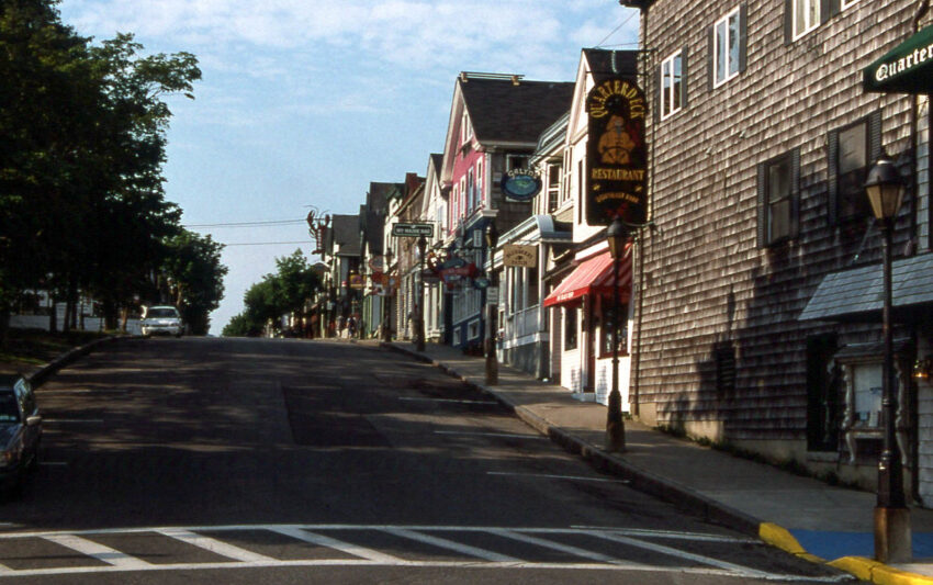
The largest city on the island is Bar Harbor and it is the center of tourism. The city has small communities specialized in fishing and famous for their lobster; some years ago it was also highly recognized by their cod, but the industry has been collapsing with time.
Speaking of the paths and carriage roads, these run through the interior of the island and usually take you through valleys to the mountains polished by the glacier. When you reach the top you will have one of the best views you can admire in your life, and you can even spot colorful flowers blooming in between the creaks of rocks.
In autumn time you can see the birch and maple trees on the lower slopes, turning to their red and orange colors, and being touched by sunlight, their leaves shine as if they were on fire. You can see in the reflections of the sun in the water, the silhouettes of the lobster boats.
To get to this place you can take a flight from Boston International Airport to Bar Harbor. From there you can take a bus from the Dree Island Explore line; they operate from mid-June to the second weekend of October, and cover most of the cities, parks, camps and trails on the island. In terms of climate, it is difficult to know exactly, but temperatures peak between October and November.
If you loved this article or found it useful, don’t forget to share it with your adventurous and travel-hacking friends! If you want more post like this, follow us on Youtube, Instagram, Pinterest, Twitter or Facebook and subscribe to our newsletter!