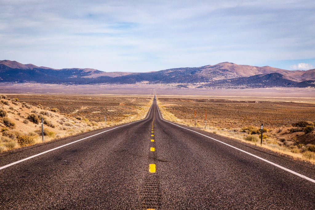
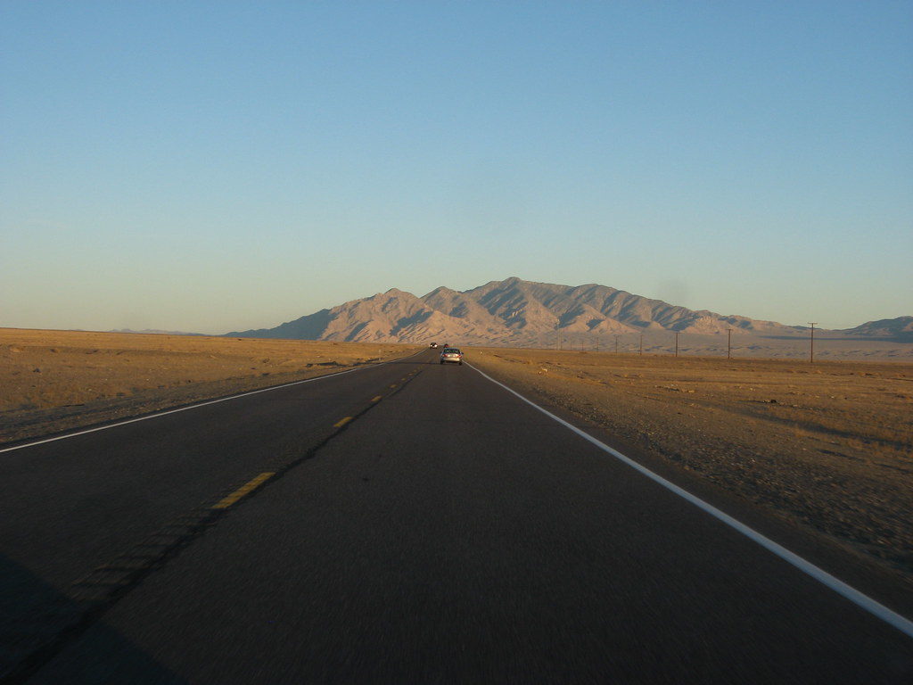
Known as the “loneliest road in America”, the U.S Route 50 in Nevada is an intercontinental road, that goes from West Sacramento in California, to Ocean City, Maryland. Along its 408 miles (657 kilometers) you will be able to see large desert valleys and several mountain ranges, known as the Basin and Range province of the Great Basin. Its flora and fauna it’s particular, you can find a lot of jackrabbits and ravens, and see pinyon pine-clad, slopes of sagebrush, swales blanketed with willows, bright-white salt pans, and so much more.
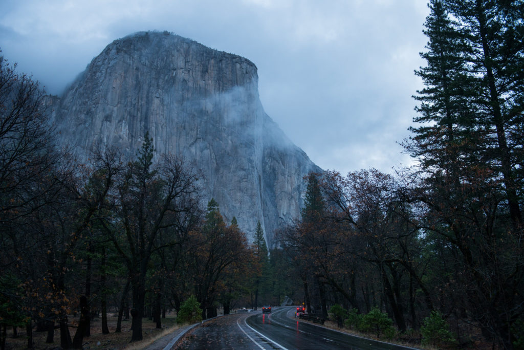
If you like road trips and are looking to enjoy unique landscapes such as deserts, mountains, valleys, lakes, a wide and lonely road, and a little history, this is the right place for you.
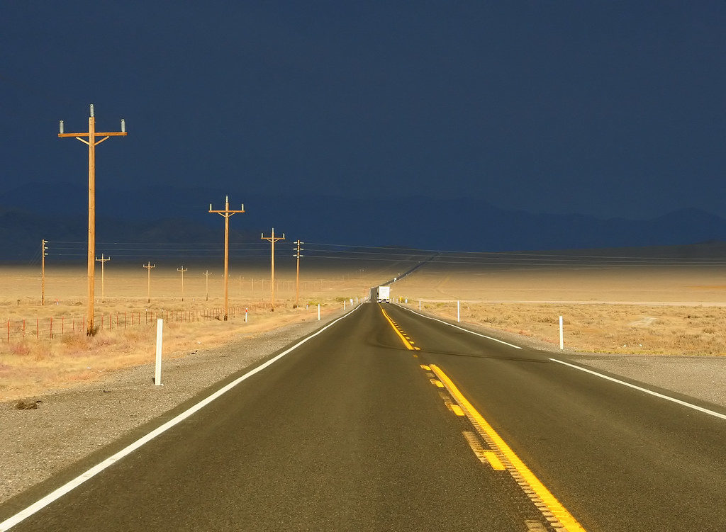
This route, which crosses the central portion of Nevada, is marked by only four towns: Fallon, Austin, Eureka, and Ely. It begins its journey from California, entering Nevada as it borders the shores of Lake Tahoe in Stateline. The road continues its course to Fallon, the first town on the route, an agricultural community located south of the Carson River terminal. Passing Fallon, you arrived at Austin, a city that was a mining boom and nowadays describes itself as a living ghost town, with a population of 300 inhabitants. The third town you’ll find will be Eureka, which is known as the “friendliest town on America’s loneliest road”, and finally you will arrive at Ely, the city that retains a railroad of Nevada Northern Railway heritage, and that is known as the Old Ely Ghost Train. This is the last town on US Route 50.
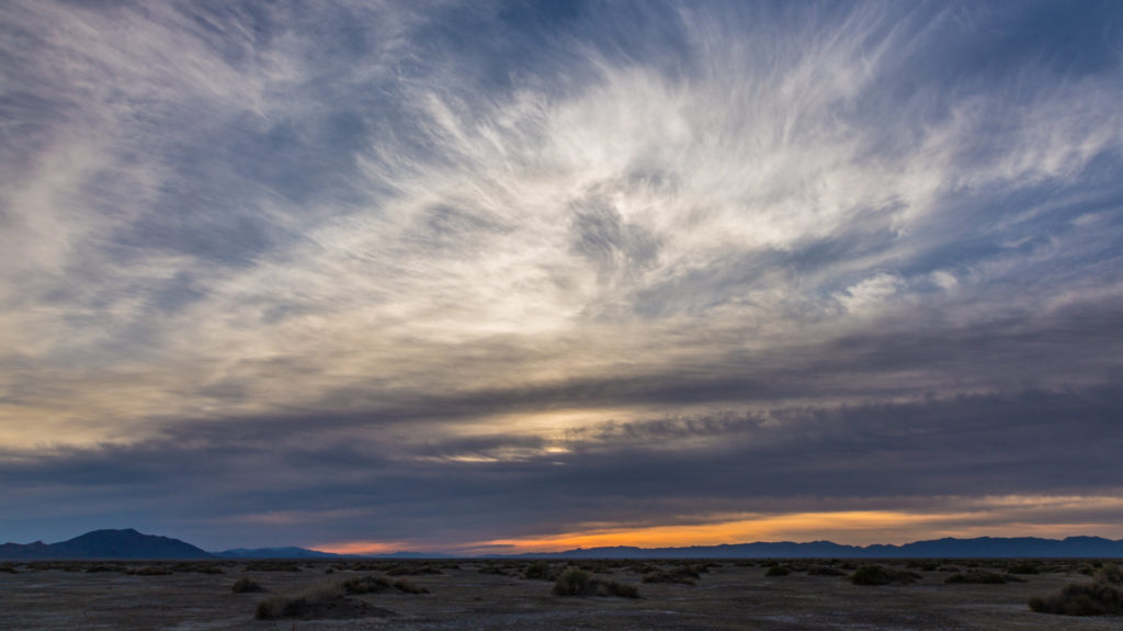
Throughout these 4 towns, you will find in the U.S Route 50, you can visit different sites, very welcoming and emblematic of each place. One of the first sites you will find is Fort Churchill State Historic Park. This park preserves the remains of a United States Army fort and a transit station on the Pony Express and Central Overland routes dating from the 1860s. Very close to this park, there is the state recreational area of Lahontan, where you can stop and enjoy a fun time with your whole family.
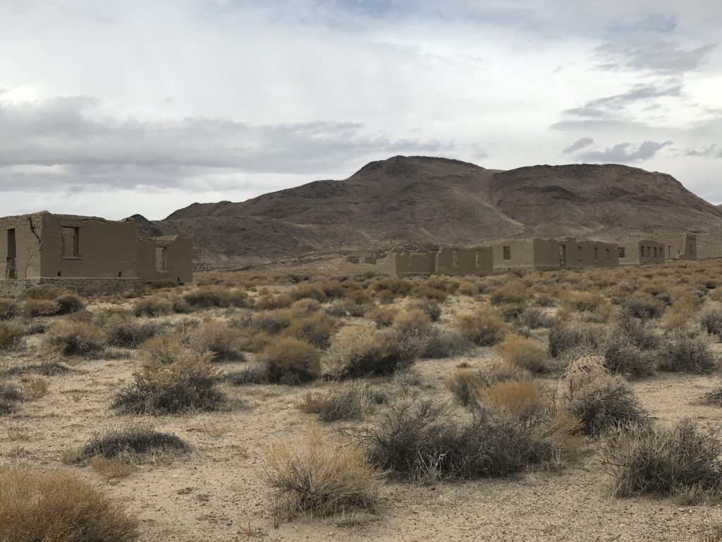
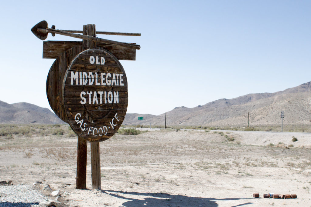
On the route from Fallon to Austin, you will find the small community of Middlegate, located in Churchill County, where there is a roadhouse that functions as a gas station, bar, hotel, and restaurant; all in one. Upon arrival, you can see that the place is full of artifacts and old plates that belonged to the era of Lincoln Highway and Pony Express that confirm that the site is authentic at that time. In addition, this site has become the detour to the Berlin-Ichthyosaur State Park, a ghost town where remains of dinosaurs are preserved.
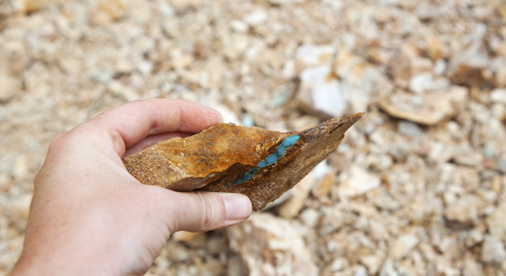
Once in Austin, you can go to the turquoise production center, where there are several mines that provide the local jewelers, who sell their pieces along Highway 50. There you can take home any piece you want, from raw chunks to rings and necklaces made with this semi-precious stone.
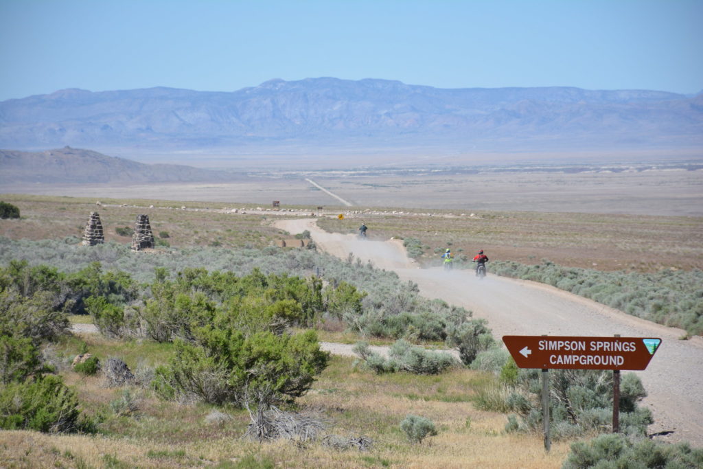
Along the entire road, you will find many more places like these, where you can make stops, enjoy the scenery and take lots of photos to keep your experience forever…
A bit of history…
This route was built on a historic corridor, initially used for Pony Express mail service, that began in 1860 and used horses to carry the packages, and then for Lincoln Highway, the first transcontinental highway in the United States, formed in 1913. Before the formation of the U.S. Highway System, the official number of this route was “State Route 2” which appeared on maps in 1919, then its name happened to be “U.S Route 50”.
Curious fact…
This route is called “The Loneliest Road in America” after Life magazine published, in July 1986, an article describing this road as a place without civilization. This article brought a lot of popularity to this route despite being written in a negative tone. The local authorities decided to take advantage of this to attract tourists and they succeeded. In fact, people can stop at several designated sites during the route and have the passport section of a “survival guide” issued by the state marked with a stamp representing that Location, and not only that, you can also send your passport by mail and you will get a certification signed by the Governor that you survived The Loneliest Road in America.
This is done as a game by a quote from the article of Life that said: “We warn all motorists not to drive there unless they’re confident of their survival skills”.
When to go
Nevada is boiling hot in summers, while winters are bitterly cold and often raked with snow; we recommend going in late spring or early fall to get the best weather.
How to find it
The most popular access point for the Nevada leg is California. From San Francisco, take the Bay Bridge to the interstate 80 at Oakland, go north 90 miles (145 km) to Sacramento, then take U.S 50 approximately 100 miles (161 km) to the Nevada state line.
Planning
You can make the drive in one long day, or break it into a two-day trip, staying overnight in Fallon, Austin, Eureka, or Ely; totally your choice. Gas stations are not common, so full up at every opportunity. Bring water and blankets in case you get stranded. Small family-run Mexican restaurants are often the best bet for meals.
Website
www.byways.org/explore/byways/2033, www.nevadatravel.net
If you loved this article or found it useful, don’t forget to share it with your adventurous and travel-loving friends! If you want more posts like this, like us on Facebook, follow us on Twitter and Instagram, and subscribe to our newsletter!

