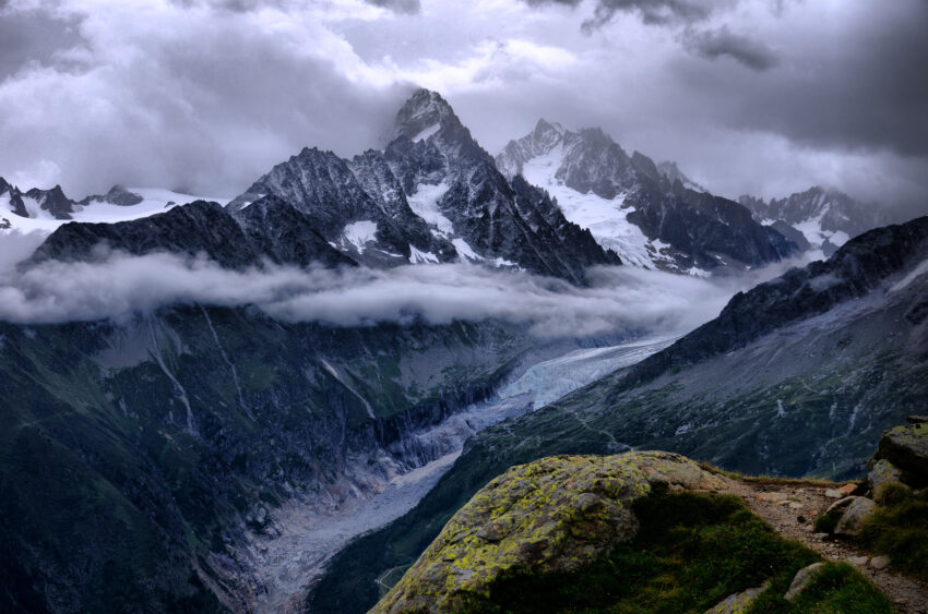
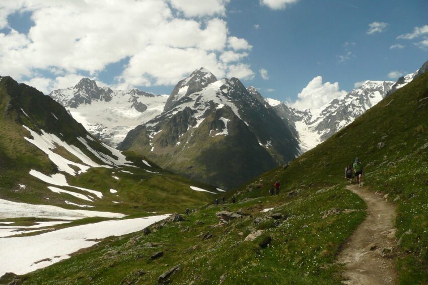
The Tour du Mont Blanc, France, Italy, and Switzerland, takes you through a wide mixture of landscapes, going from verdant meadows to high and eternally snow-capped mountains. In the background, you can hear the sound of water slowly flowing on nearby rivers, and the occasional tinkle of cowbells. These three countries you will be touring usually have warm and dry weather, with random days of rain. The sounds, feelings, and sights of the Tour du Mont Blanc will forever be engraved in your mind, a once-in-a-lifetime Alpine experience. Get ready to trek Europe’s highest peak, going to three different countries in no more than 14 days.

Activity/Place Highlights
Each summer, when the paths are clear of snow and the route opens, around 10,000 hikers embark on this 170-km-long oval walk. This walk goes around the 4810-meter Mont Blanc, the highest among the European Union, divided between France, Italy, and Switzerland. The trail also wanders in and out of green valleys. Besides, with its highest pass being 2665 meters, you don’t need technical skills or equipment to complete the walk safely.
Les Houches
You can find various starting points, but the habitual one is Les Houches, in the Vallée de Chamonix, and from there you can choose to walk the Tour du Mont Blanc either clockwise or anti-clockwise.
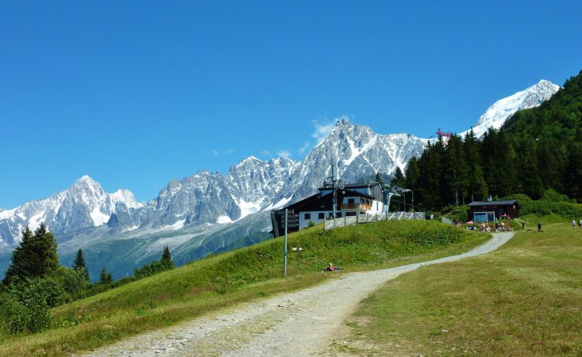
Take the Cable-car Ride
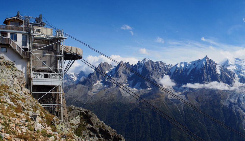
To save strength for the upcoming days, the first, and pretty harsh part of the walk can be skipped. You can exchange the several hours of walking uphill (around 800 meters) with a cable-car ride to Bellevue. From the very beginning, you start to get unique and stunning views, an alpine panoramic with the Aiguille du Bionnassay standing tall in front of you. In the distance, the remote Aiguille du Midi breaks the horizon.
170 km to go!
Once you get to Bellevue, you have to start climbing quite a bit to get to the Cot de Tricot, at 2120 meters.
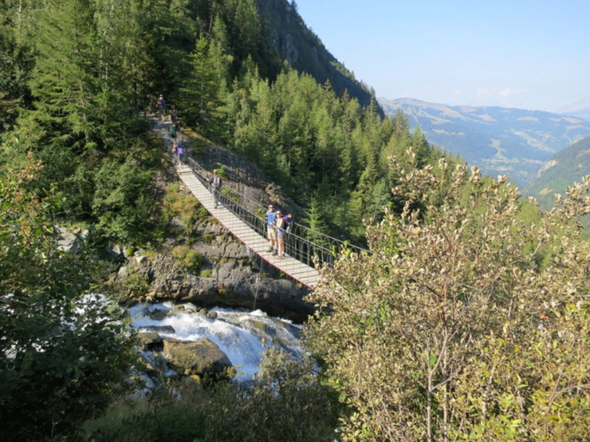
To get over the violent and noisy waters of the Bionnassay river, you must cross a suspension bridge, taking you without risk to the other side. Then the climb continues, passing the roaring Glacier de Bionnassay.
On your way to Les Contamines
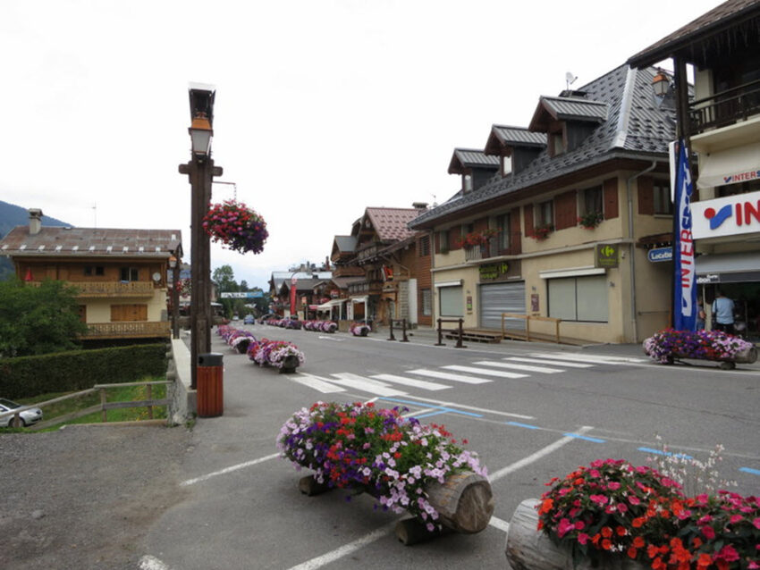
Head down some zig-zagging tracks and reach the Chalets de Miage village. This village stands peacefully next to the bubbling Grand Pont river, naturally decorated with Alpine blossoms. Then, the path takes you up Mont Truc and goes back down across deep forests. Tall, verdant trees guide you to your first stop, the ski town of Les Contamines. Here, various wooden chalets stand closely next to each other, lining the street.

Col de la Croix
Rise and shine, and follow another ascending path through a stunning valley, originally formed by glacial erosion. Eventually, you will find yourself in the Col du Bonhomme. The path only keeps going up, and once you reach Col de la Croix, the most impressive views of mountain peaks backdrop the walking track. From there, you can choose to descend to the Vallée des Glaciers, with towering, snow-capped mountains bordering the area. On the other hand, you can choose the small village of Les Chapieux, with bright green colors shining wherever you look.
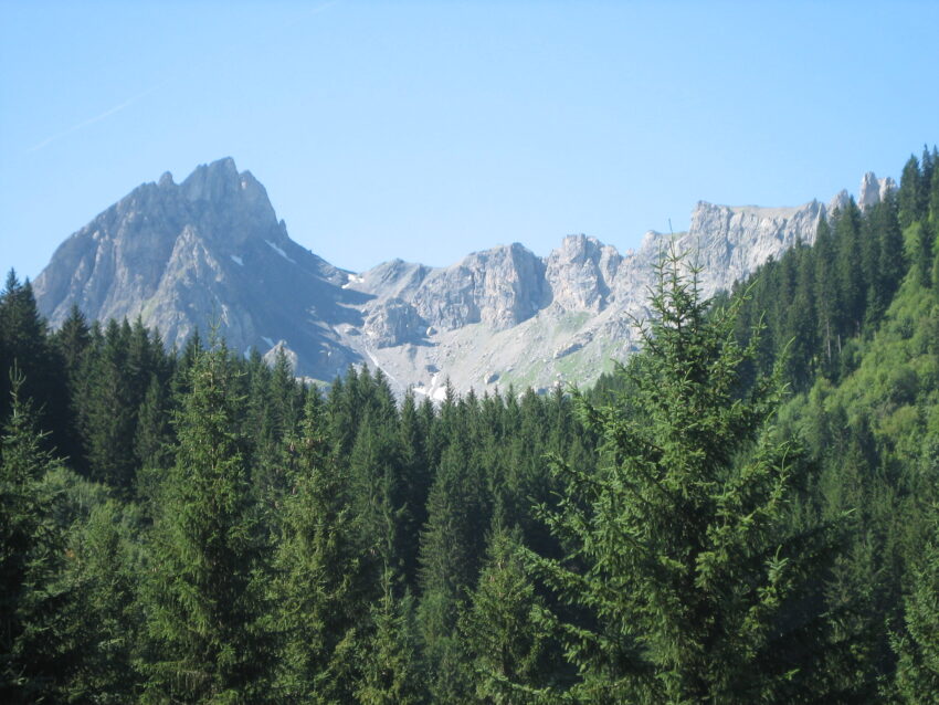
Welcome to Italy!
You will find the 2516-meter Col de la Seigne pass at the top of the valley. Here is where the Tour du Mont Blanc takes you straight into Italy. Besides, it’s maybe the first point of view of the tall and intimidating Mont Blanc, standing between the huge Pyramides Calcaires and the extensive Vallon de la Lée Blanche. Look down and witness the Rifugio Elizabetta snuggle its beauty underneath the broad ice of Trélatête and Glacier de la Lée Blanche.
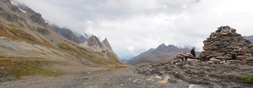
Your next stop is the town of Courmayeur. I totally recommend walking down the street, taking in the style and character of the residents. Also, you can taste an amazing, foaming cappuccino and a bowl of delicious homemade pasta; simple, but wonderful. The Val Veni and its dense woods take you into the Val Ferret, the trail heading upwards with every step to the Grand Col Ferret. Look back from this 2537-meter top, and say goodbye to the last views over stunning Italy.
Now into Switzerland…
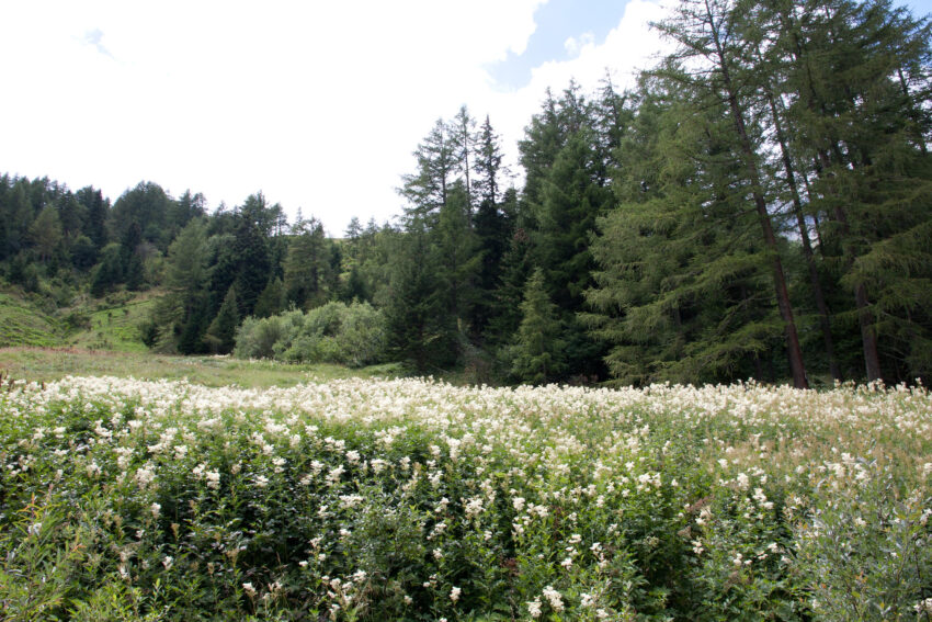
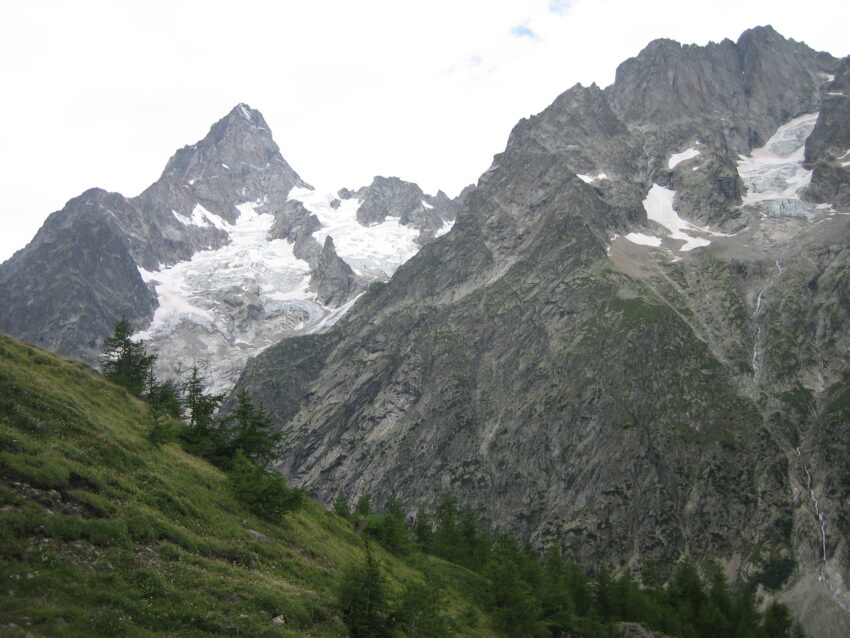
From this point, you can consider yourself officially inside the Swiss border. Walking past La Peula, with its barns and summer pastures, the clear and distinctive rattle of cowbells will greet you. The hillside is dotted here and there by small wooden chalets, red Swiss flags on their fronts standing out among all the green. Then, the path takes you into the town of La Fouty, hidden under the frozen waterfall of the Glacier de l’A Neuve. You will surely be craving for an overnight stay, and La Fouty, with its outstanding views, is the perfect option.
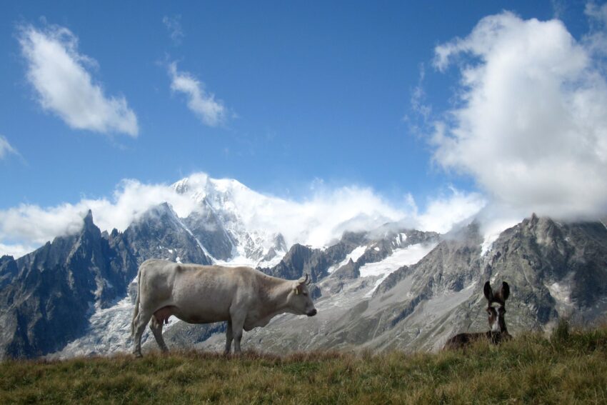
Wandering closely to the flowing waters of the Drance de Ferret river, with pink blossoming flowers framing its banks, the path roams along the peaceful Swiss Val de Ferret. It then zig-zags among all the wooden chalets standing at Praz de Fort, and the simple, but picturesque farm buildings of Les Ariaches. From that point, it finally going up to Champex. However, before you get there, the path leads you through forests filled with wild mushrooms.
Champex
This is a popular and comfortable base for walkers, surrounded by both a curved lake and verdant pine trees. Its modern sculpture of geese will definitely strike your curiosity and attention.

The Barns of Bovine
But climbing doesn’t stop there! Get through ravined woods and across three river beds, and finally arrive at the barns of Bovine. They offer spectacular views down the Vallée du Rhône and, far-off on the horizon, the Bernese Oberland mountains. Enjoy a tempting blueberry tart, locally called tarte aux myrtilles, at the 1526-meter Col de la Forclaz. Then, take a relaxed path down to the small village of Trient, set huddled around its only church.

Back in France
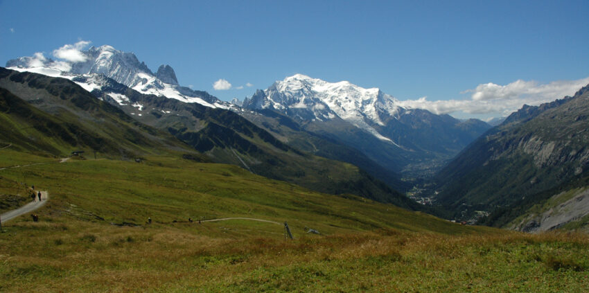
The rollercoaster-like route now takes you upwards again, steadily leading you to the Col de Balme. On this point, you get back inside the French border. The majestic Vallée de Chamonix shows its U-shaped form ahead, separating the Aiguilles Rouges from Mont Blanc. Now, the path goes along the Grand Balcon and gets out of Argentière. From there, it grants you with unique views to the mind-blowing Argentière glacier, scattered with gigantic rifts.
Chamonix
At this point, you’re getting closer to the end of your magnificent two-week walking trip. The noisy town of Chamonix stands at the heart of the valley, the Alpine capital of mountaineering. You will surely encounter many friendly climbers like freckles on the snow. Some of them drink coffee to warm themselves after the severe climbing, with the everlasting Mont Blanc always watching over everyone. If you fancy getting up close to the mountain, take the Aiguille du Mini cable car to a platform at 3842 meters, and see the snowbound summit from a totally different point of view.
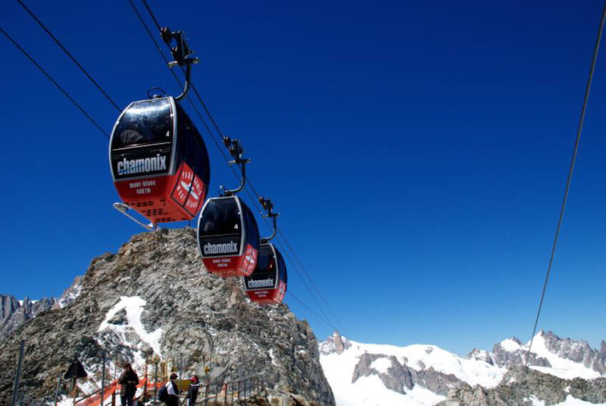
The final section of the route offers the best views of Mont Blanc, especially from Le Brevant. Then, the path goes back down across deep woods and turns back to Les Houches, marking the end of your European oval tour. Congratulations! you have just completed the 170-km Tour du Mont Blanc.
How to get there
The Geneva Airport the easiest airport to get to Les Houches, and it’s just a 1-hour drive away from the town. Also, Chambéry Airport is a 1.5-hour drive from Les Houches; public transport is not its forte, but you can hire a car. Besides, around 10 trains travel between St Gervais and Les Houches each day.
When to go
Above all, June to September are the most popular months to embark on the Tour du Mont Blanc, as the snow melts, and most cable cars and huts are open to the public.
Inside Information
There is no definite way to walk the route, and accommodation can range from camps, mountain refuges, and hotels. Besides, Sherpa Expeditions offers a two-week escorted tour, with hotel accommodation included. Finally, bags are transported daily, so make sure to only carry a light daypack.
If you loved this article or found it useful, don’t forget to share it with your adventurous and travel-hacking friends! If you want more posts like this, follow us on Youtube, Instagram, Pinterest, Twitter or Facebook and subscribe to our newsletter!

