If you want to feel like a hiking expert, going through three national parks and two coasts throughout England will certainly give you everything you need. Filled with beautiful views of blue waters, exceptional cliffs and climbs through mountains of green pastures, the Coast to Coast trail is perfect for a unique and unforgettable experience.
Coast to coast is a 309km long hiking trail in the north of England. It goes from the Irish Sea to the North Sea. It can be done in 14 days, including two days of rest.
Passing through three very different National Parks: Lake District, Yorkshire Dales, and North York Moors, the Coast to Coast walk is not an official route, but it is recognized on a national scale, being one of the most popular in the country. In 2004, it even ranked second among the best long-distance hiking routes in the world.
The original route was described by Alfred Wainwright in his book A Coast to Coast Walk, which offers a route guide so that you can divide small walks that are completed individual for a short period of time or you can do it as a two-week continuous walk.
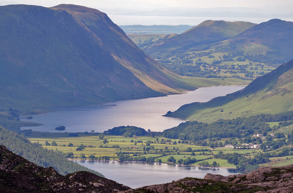
The hike begins when you cross the high cliffs of St Bees Head, where the palm of the willows sways with the wind and the seagulls can be seen in their best flights. Then you will walk through the easily accessible countryside, past Cleator Moor, which ultimately leads to the Ennerdale Bridge. Here, in the Ennerdale Water, you really have the feeling of being on a border, with its distinctive shapes, Wainwright described it as a paradise on Earth.
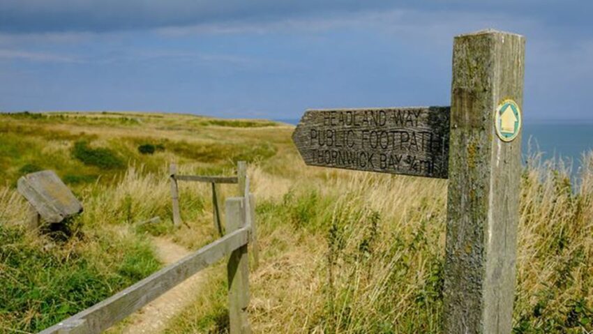
In some sections, the route is adapted to prevent hikers from interfering with traffic, this is because every year thousands of people want to venture on this beautiful route.
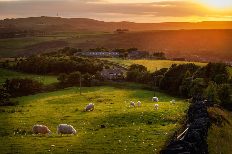
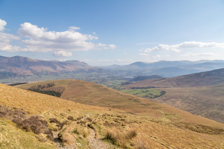
The three national parks that you will visit while doing the trek are a pleasure to discover. Accompanied by such wonderful sites as the first Via Ferrata of England in the Honister valley with the slate mines, the Kidsty peak and the highest mountain of this excursion, Shap Abbey, definitely make this trek a unique opportunity to experience.
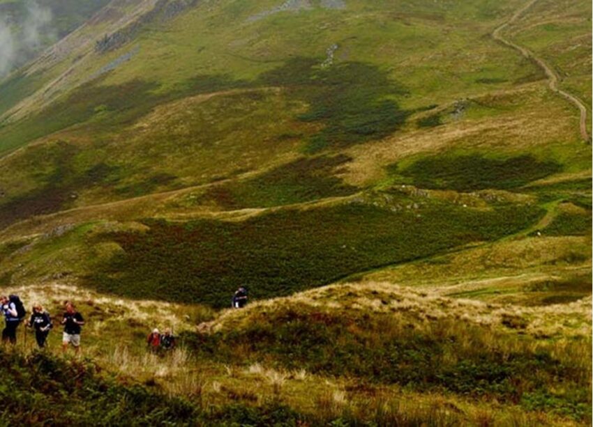
A highlight of the route comes from being in Patterdale and the Strait of Riggindale, a narrow passage that descends from the top of the High Street and follows the Roman road that once linked Ambleside and Brougham. Just above this thin column, the path ascends towards Kidsty Pike, which is the highest point of the walk.
Following the route between lakes and Pennines, a beautiful view appears once again, resembling the ruins of Shap Abbey. You will also reach the pretty commercial town of Kirby Stephen, where later sheep farms and a patchwork of dry stone walls along with lush green fields will give you a spectacular entrance to the Yorkshire Dales.
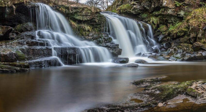
There are many natural wonders that you can enjoy during the walk. An example of this is Swaledale that will surprise you with its winding river, the Wain Wath Force waterfalls and the sleepy settlement of Keld, which are isolated from farms located at the midpoint of the walk from coast to coast. The route continues through agricultural and flat lands in the Mowbray Valley, giving entrance to the North York Moors National Park.
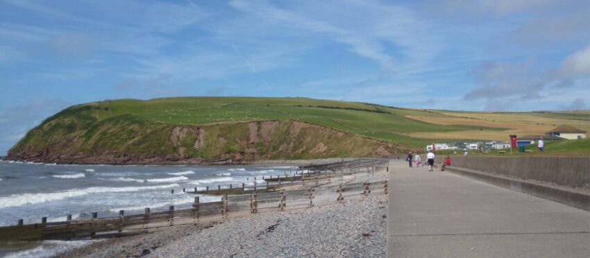
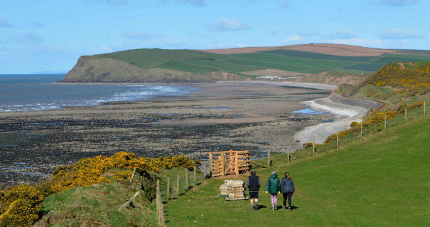
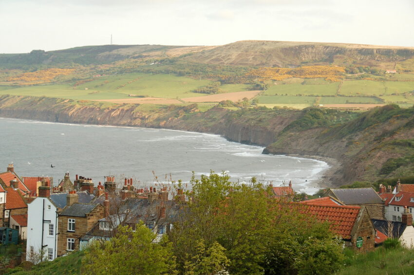
The final section brings with it some cliffs that lead to the beautiful Robin Hood Bay, where a city of narrow and twisted streets lies at the bottom of a steep ascent. This is the point of the route where there is only one thing left to do, and that is to take off your boots and dip your toes in the soothing waters of the North Sea, as Wainwright indicated in his book.
If you loved this article or found it useful, don’t forget to share it with your adventurous and travel-hacking friends! If you want more post like this, follow us on Youtube, Instagram, Pinterest, Twitter or Facebook and subscribe to our newsletter!